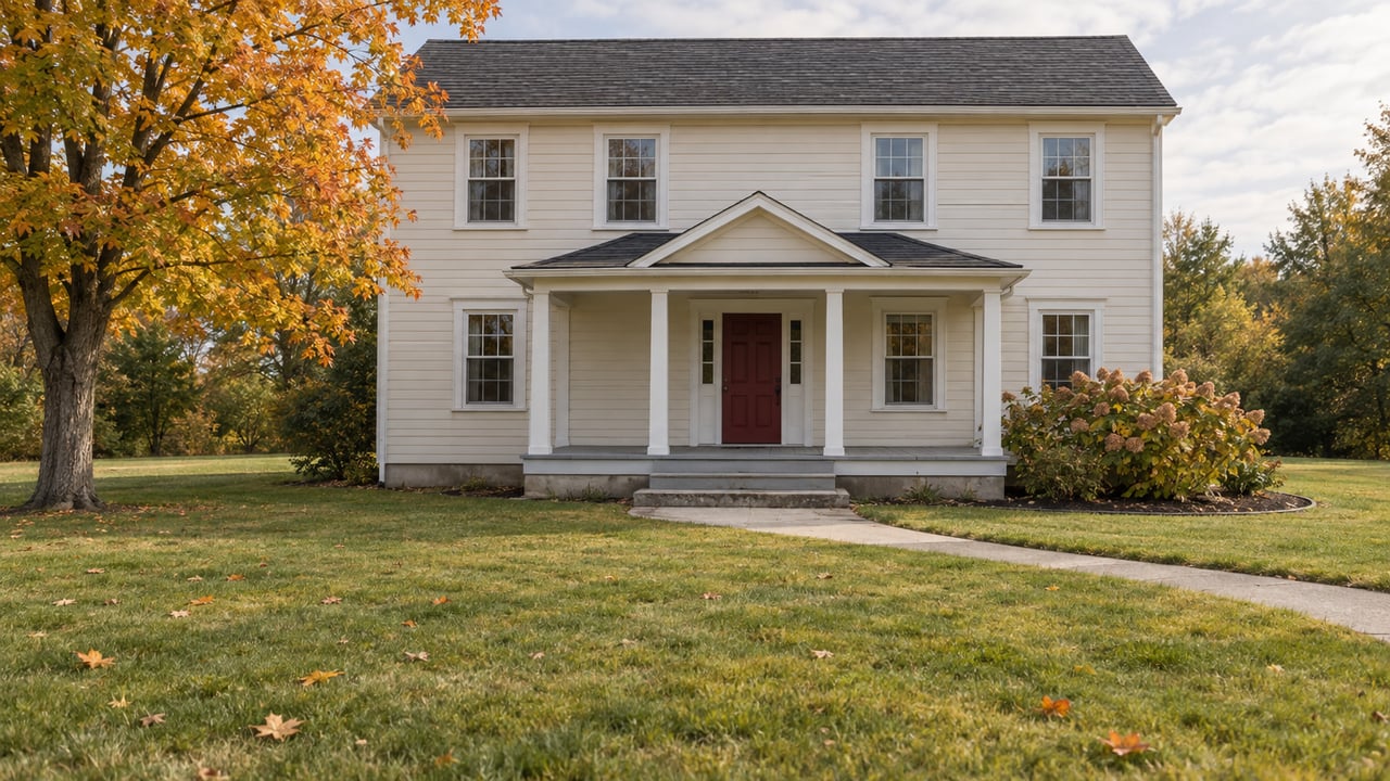
A trail now starts at the end of Grove Street. Nearly 800 feet of it is boardwalk, laid in two spans over the marsh. Three-quarters of a mile later it comes out at the Tannery Brook trailhead on Wentworth Drive. Volunteers built most of it by hand, and the Gorham Conservation Commission named it Ernie's Way, according to the Gorham Times.
Ernie's Way was in use before the Town Council voted on anything. On Oct. 6, the council adopted the Gorham Open Space & Trails Master Plan 2026. Read next to the trails you can already walk, the plan lists the work Gorham has started. Firearms deer season opens Monday, and it shows the map plainly. The places where you can walk in November without thinking about hunters sit in the same two villages the plan names as short on trail access.
What the council adopted on Oct. 6
The Gorham Times council recap reports a 7-0 vote to adopt the plan. The Open Space and Trails Master Plan Committee recommended it, and the consultants Northstar Planning and ALA presented it. The council had held off on accepting it until the consultants gave a formal presentation and answered questions, which happened Sept. 15.
The resident survey behind the plan explains its priorities. It ran from Feb. 15 to May 9, 2025, and drew 428 responses. Ninety percent of respondents said they use Gorham's trail network. Their complaints were about getting to the trails: poor signage, limited access near the villages, and gaps between neighborhoods, parks, schools, the Cross-Town Trail and the Mountain Division Trail. One respondent wanted to walk from their neighborhood to Little Falls without driving. Others worried that some trails cross private land under informal agreements.
So the town's trails get heavy use, but they are hard to reach on foot from the two places where people live closest together. The plan says Gorham Village and Little Falls have little formal open space or trail access nearby, and it calls South Gorham underserved.
The links the plan names
The plan's neighborhood maps are specific. Around Gorham Village, the priorities are:
- A major trail connection from the Village to Little Falls Village
- Finishing the Cross-Town Trail as a bike and pedestrian corridor linking the Village, schools, neighborhoods and businesses
- A wetland crossing that ties the Cross-Town Trail to neighborhood routes and the Weeks & Moody Trail System
- Trailhead access at Route 114 and the Tannery Brook crossing
- Permanent conservation of the USM trail network
- Public parking at a Cross-Town Trail trailhead
Around Little Falls, the map shows a 0.2-mile connection to Shaw Park and Gambo Fields, Presumpscot River access by way of Mosher Road, and better sidewalks and crossings on roads within a half-mile of the village center. It also calls for improved access at Little Falls Cemetery and trail access or park programming on underused public works property.
None of these items has a construction date. The implementation table puts only a few items on its short-term track, defined as one to three years. A consistent town-wide wayfinding system is the one walkers would notice. The others are land-use tools such as conservation overlays and open space in new subdivisions. The funding ideas are also proposals. They include state and federal grants such as the Maine Trails Program, updated sidewalk and trail impact fees, and a voluntary farm ordinance that would trade property tax reductions for 20-year conservation easements. It also suggests a stewardship mini-grant fund run by the town. An expanded Conservation Commission would coordinate the work and report on it every year.
Ernie's Way shows how a gap gets closed
If the plan sets the direction, Ernie's Way shows how projects tend to get built. The Gorham Times reported that the trail took nearly a decade of planning and two years of hands-on work led by the Conservation Commission. Volunteers did all of the boardwalk and most of the trail. Sanctuary Trail Works finished the stretch between the long boardwalk and Wentworth Drive so the trail would sit properly next to the fencing around the neighboring solar farm, and Gorham Public Works helped source materials.
The same article lays out how the trail and the plan are connected. Ernie Wells, the commission member the trail is named for, also represents the commission on the master plan committee. He told the paper:
"Connectivity is our most important watchword."
Ernie's Way links the Tannery trail system to Village neighborhoods, the problem survey respondents described. A Tannery Brook crossing and a trailhead are already on the plan's Village map. Tannery Brook Preserve itself covers more than 99 acres of town land. The town's recreation listing puts its trail system at 1.7 miles, open dawn to dusk.
Some details for using it. Ernie's Way is open to walkers and non-motorized bikes only, with no gas or electric dirt bikes and no ATVs. Cyclists are asked to dismount when they meet walkers on the boardwalks. Parking spaces and a clearer trailhead at Grove Street were still to come as of July. The town has also posted notice of repair work near the Tannery Brook dam and asked visitors to obey restricted-area signs there.
Deer season shows where the walkable trails are
The Maine Department of Inland Fisheries and Wildlife lists firearms deer season from Nov. 2 through Nov. 28, 2026, followed by a statewide muzzleloader season from Nov. 30 to Dec. 5. The Presumpscot Regional Land Trust posts a hunting rule on its preserve pages, and the preserves that ban hunting are in the two villages the plan says lack trail access.
| Place | Where to start | Trail | Hunting rule posted |
|---|---|---|---|
| Frazier Preserve | Access Road by Gorham High School | 0.75 mile, connects to the Cross-Town network | No hunting |
| Hawkes Preserve | Tow Path Road off Route 202 | One-mile loop on the Presumpscot and the Cumberland-Oxford Canal towpath | No hunting |
| Gambo Preserve and Shaw Park | Shaw Park on the Presumpscot | 1.2 miles including Shaw Park | No hunting |
| Little River Preserve | 258–260 Gray Road | 0.75 or 1.25 miles | Bow and arrow only |
The three no-hunting preserves are in Gorham Village and Little Falls, at the two ends of the connection the plan ranks first. Frazier sits near the high school ballfields and links to the Cross-Town network, which the plan wants finished. Hawkes and Gambo line the Presumpscot near Little Falls, where the plan wants river access and the short connection to Shaw Park.
The Little Falls end has more to offer. Gambo's route connects the Mountain Division rail trail, Shaw Park, the discontinued Gambo Road, a pedestrian bridge above Gambo Dam and the canal towpath. The plan describes Shaw Park as about nine acres on the river with a kayak launch. Hawkes has a second entrance at Great Falls Elementary School, 73 Justice Way. Maine Trail Finder asks visitors to check in during school hours and to park to the left of the school near the woods.
Two other short walks are worth knowing about, but neither has a posted hunting rule in the sources behind this post, so check the signs at the trailhead. One is Tannery Brook. The other is Deer Woods Preserve, a 30-acre preserve with a half-mile "lollipop loop" of boardwalk and forest path, open sunrise to sunset.
South Gorham has the big trail system and few protections for it
The plan calls South Gorham underserved by public access and conservation land, even though one of the town's best-known trail systems is there. The Gorham Conservation Commission describes Weeks/Moody's as a family-friendly riding area that includes the Lavoie Bike Park and more than 10 miles of singletrack. It also cautions that Gorham trails cross a mix of public and private land and are kept up by volunteers. In 2025 the commission added rollers, a dirt-jump line, a 300-foot wooden "skinny" and a children's loop at the bike park, and replaced two bridges. Residents who came to the October Go Outside day that ended at the bike park on Weeks Road have already seen some of that work.
The plan's South Gorham map asks the town to work with private landowners to permanently protect the Weeks-Moody system and to build neighborhood trail links along stream corridors. Its largest idea is a major connector along the Stroudwater River that would link Weeks-Moody to nearby neighborhoods and continue on to Westbrook and Portland. The Village map adds a wetland crossing to connect the Cross-Town Trail with Weeks & Moody, which would tie the Village network to the South Gorham trails.
For now, the connected stretch runs from Grove Street to Wentworth Drive. That is the piece the Conservation Commission has built so far, and the plan maps where the next pieces go.
If you're weighing a Gorham home partly on which trails you could walk to, The Scoville Foley Team can tell you how close a given street is to Ernie's Way, the Presumpscot preserves, or the routes the new plan maps out. Contact Us and we'll go over it with you.